Askari Metals targets buried LCT pegmatites at Uis project with low-cost, high-impact exploration
Askari Metals (ASX: AS2) has commenced the design and planning of a low-cost, high-impact Phase I exploration campaign at licence EPL 7626 within its Uis lithium project in central-west Namibia.
Askari’s Uis project is highly prospective for polymetallic mineralisation including tin, tantalum, rubidium and lithium, as evidenced through previous exploration across neighbouring licences owned by the company and along strike of the Uis tin operation owned by Andrada Mining.
These include EPL 7345 – which contains the MW, Eve, GP and K10 targets – and EPL 8535, which hosts Tawny, Martial and Zebedeus 1.
‘Corridor of interest’
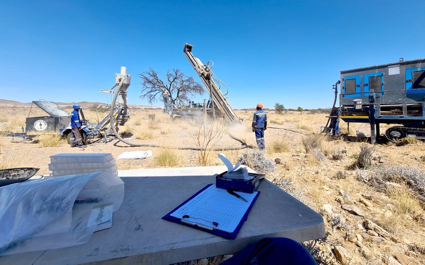
The new program will include mapping, rock chip sampling and a soil geochemical sampling campaign to test for buried LCT (lithium-caesium-tantalum) pegmatites at a previously identified “corridor of interest”, which the company will expand through systematic trenching of the high-priority targets.
A previous in-house remote sensing study at EPL 7626 identified lithological zones with spectral signatures under extensive surface cover.
The company believes these match the tin-tantalum pegmatite-hosting mica schists it has mapped at EPL 7345.
Satellite imagery
Askari based the sensing study on Sentinel-2 multispectral satellite imagery, which can be effective in differentiating rock types, mapping regolith units and identifying surface mineralogy.
This capability makes Sentinel-2 data a valuable tool for detailed and cost-efficient geological mapping, soil analysis and early-stage mineral exploration.
The company has also interpreted tin–tantalum pegmatite-hosting mica schist units trending north-eastwards from EPL 7345 and the Uis mine into EPL 7626 and believe they highlight the overall prospectivity of the licence and the probability it hosts buried pegmatites.
Optimising techniques
Askari executive director Gino D’Anna said remote sensing technology had helped optimise desktop targeting techniques at Uis.
“The in-house reprocessing of high-resolution satellite imagery and the development of our remote sensing hyperspectral methodology has allowed us to accurately and cleanly define all outcropping and sub-outcropping pegmatites on the project and clearly delineate the different regolith domains, which is important for our upcoming sampling surveys,” he said.
“We have honed this method using our current suite of pegmatite prospects and the study has delivered a pipeline of new, highly prospective targets.”
Sampling grid
Results from the remote sensing study guided the set-up of a 200 metre x 200 metre grid over 54 square kilometres and comprising 1,407 samples to detect geochemical halos potentially linked to concealed pegmatites.
Sample preparation, including dry sieving, will be conducted on-site to obtain an optimal particle size distribution for analysis.
Askari will press the resulting samples into pellets and analyse them using the company’s in-house laser-induced breakdown spectroscopy system.
Mr D’Anna said this would allow for efficient and cost-effective geochemical screening to help identify areas of interest for a follow-up infill program.